
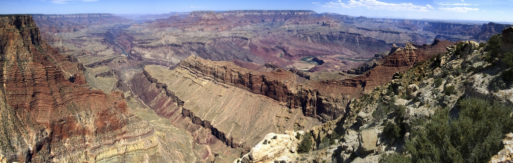
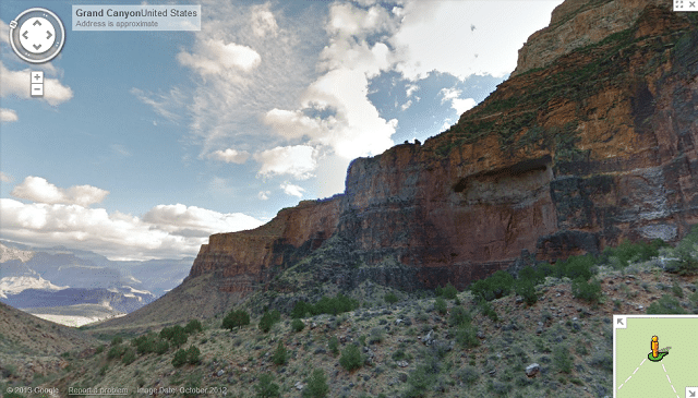
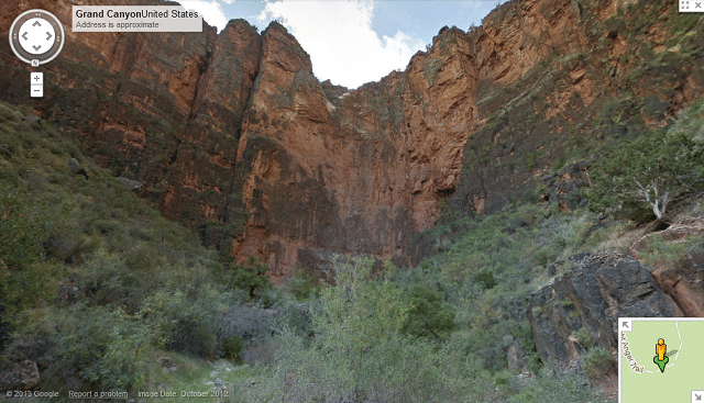
Tourism by embracing technology is strong not only for the evolution of the app, thanks to which the sector especially in America savors a thriving health and now usual tools like Google Maps allow us to see in a given place panoramic with even the less obvious details at first glance and slowly the portfolio is enriched. The news will please fans of western movies and enthusiasts of geological tourism: the National Park of the Grand Canyon and the Colorado River today are there for you even from your sofa.
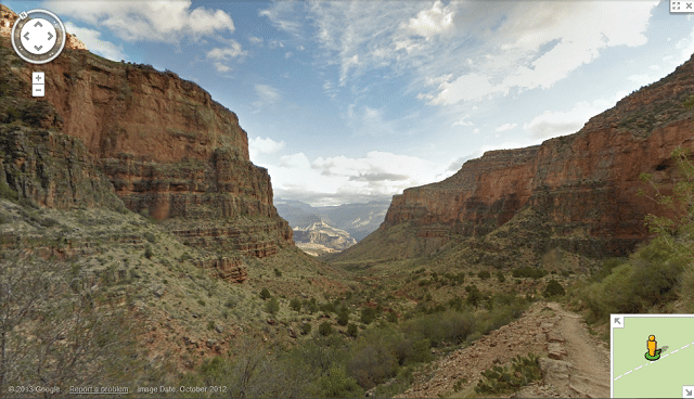
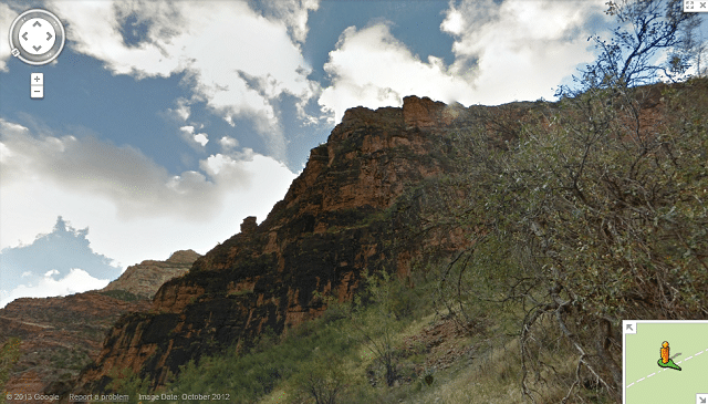
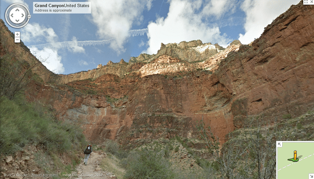
In an article I read that the project was possible thanks to a team of explorers Trekker Google, each of which dealt with the routes of paths, fords and cliffs taking with him 18 pounds of equipment. I would suggest some soothing music for your trip. You will be certain to get bored with the 120 miles of trails and 9,500 shots with 15 lenses of machines. By the way, as work seems but exhausting to say the least, I wonder if they are recruiting trekkers to capture the natural wonders. Perhaps sifting through the blog of Google will help me find out. The vision is great but where do you start? The Bright Angel Trail, South Kaibab Trail or Meteor Crater?
Grand Canyon photos: jpravetz.


