
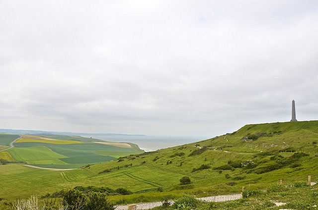
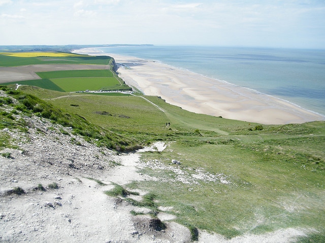
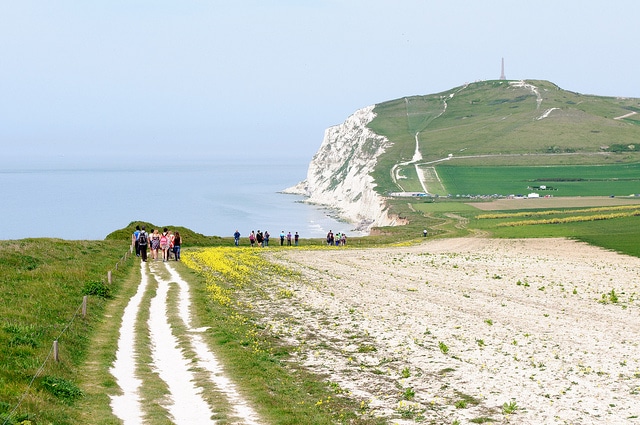
Overlooking the ocean and across to England, the largest country sites Deux Caps is one of the places to see if you are in the French region of Nord-Pas de Calais. Inserted between the Grand Site de France in 2011, 2 Caps extends for 23 kilometers of coastline between Calais and Boulogne sur mer and includes 8 municipalities Wimereux, Ambleteuse, Audresselles, Audinghen, Tardinghen, Wissant, Escalles and Sangatte. It is an area that takes the breath away from tourists, with the estuary River Slack, the salt pans of Tardinghen, the high cliffs that rise from the sea and the huge white sand beaches.
And then there are of course the raging tides of the ocean, which characterize the whole northern coast of France at lunchtime enlarges the coast, the beaches become wider, rocks previously invisible become comfortable refuges for crabs and seagulls.
In the area, which has played a very important role throughout the history of the stormy relationship between England and France, there was also fierce fighting during the Second World War where the Nazis built the Atlantic Wall against the British and the many vestiges of those days will be inserted before long a trip down the memory lane.
Deux Caps on map:
View Larger Map
By Nikos K
Photos: Webzooloo, Lispeltuut z.Z. ohne Internet , r-allen-c


